
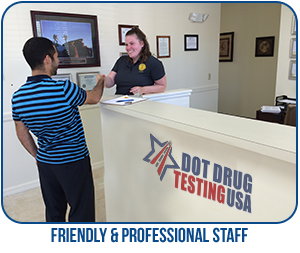
DOT Drug Testing USA provides DOT Random Drug Testing at testing center locations in Heeia HI and throughout the local area. Testing centers are located within minutes of your home or office and same day
service is available at most testing centers in Heeia HI.
To schedule DOT Random Drug Testing Heeia HI or to join the DOT random pool/consortium, Call (800)579-8083
In addition to DOT Random Drug Testing Heeia HI we also provide DOT breath alcohol testing, DOT consortium membership, DOT supervisor training and DOT drug policy development.
As an employee regulated by DOT you are subject to unannounced random drug & alcohol testing. Alcohol testing
is administered just prior to, during or just after performing safety-sensitive functions. Depending on the
industry specific regulations, you may only be subject to random drug testing.7 7 USCG & PHMSA do not
perform random alcohol tests.
 No manager, supervisor, official or agent may select
you for testing just because they want to. Under DOT regulations, employers must use a truly random selection
process. Each employee must have an equal chance to be selected and tested. Just prior to the testing event, you
will be notified of your selection and provided enough time to stop performing your safety-sensitive function
and report to the testing location. Failure to show for a test or interfering with the testing process can be
considered a refusal to test.
No manager, supervisor, official or agent may select
you for testing just because they want to. Under DOT regulations, employers must use a truly random selection
process. Each employee must have an equal chance to be selected and tested. Just prior to the testing event, you
will be notified of your selection and provided enough time to stop performing your safety-sensitive function
and report to the testing location. Failure to show for a test or interfering with the testing process can be
considered a refusal to test.
All safety sensitive employees must be a member of a DOT random selection pool/consortium in accordance with DOT Random Drug Testing Heeia HI selection percentages.
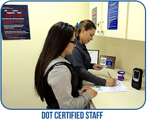
DOT Random Drug Testing Heeia HI is a 5 panel urine drug test which must be analyzed by a SAMHSA Certified Laboratory and verified by a Medical Review Officer. A DOT drug test screens for the following,
|
|
|
|
|
| DOT Agency | Random Drug Testing Rate | Random Alcohol Testing Rate |
| Federal Motor Carrier Safety Administration (FMCSA) | 25% | 10% |
| Federal Aviation Administration (FAA) | 25% | 10% |
| Federal Railroad Administration (FRA) | 25% | 10% |
| Federal Transit Administration (FTA) | 25% | 10% |
| Pipeline & Hazardous Materials Safety (PHMSA) | 25% | n/a |
| United States Coast Guard | 25% | n/a |
To review the Department of Transportations (DOT) drug testing regulations including DOT Random Drug Testing Ann Arbor HI – CLICK HERE
Avoid DOT fines and penalties, be complaint with all DOT drug and alcohol testing regulations including DOT random drug testing requirements.
DOT Drug Testing USA can schedule your DOT Random Drug Testing Heeia HI, Call us today!